Shipping quote request
We’ll calculate the shipping price as soon as getting your request.
Shipping quote request
We’ll calculate the shipping price as soon as getting your request.
You May Also Like
More from this Dealer
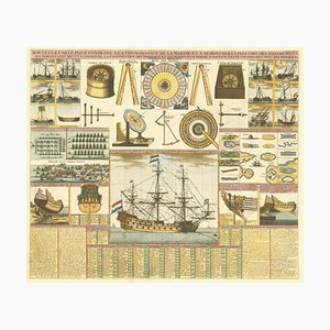
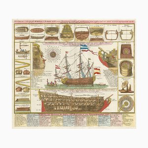
18th Century Maritime Explanatory Print
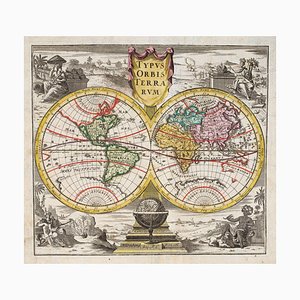
18th Century Double-Hemisphere World Map
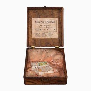
20th Century Plaster Relief Map of Jerusalem in a Olive Wood Box by Frederick Vester, 1910s
A Sperm Whale Beached Near Scheveningen in 1598, 1700s, Print

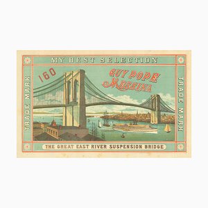
Scarce Advertising Orange Crate Label Featuring Brooklyn Bridge
18th Century Map of Italy in Fine Colour

World Map as a Chocolatiers Competition, 1950s

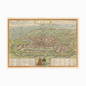
16th Century Plan of Rome
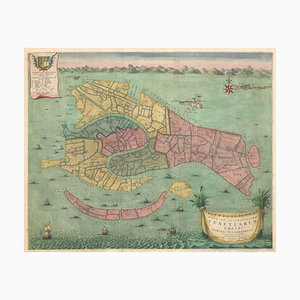
Early 18th Century Map of Venice
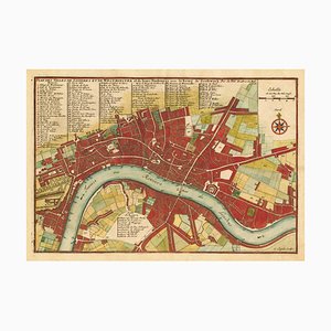
Early 18th Century Map of London by N. De Fer, 1705
Early Prospect of Tokyo, 1700s

Map of the Environs of Hong Kong

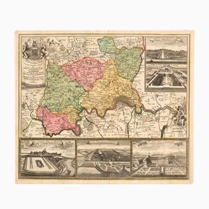
Map of the Environs of London with Inset Views of Royal Palaces by Johann Baptist Homann, 1710
Pictorial Map of Wales

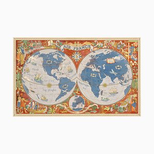
Air France Poster Map of the World in a Double Hemisphere, 1950s
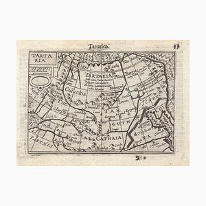
16th Century Miniature Map of Tartary by B. Langenes, 1599
Early 19th Century Brass Navigators Tool by William Carys, 1800
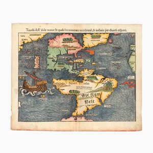
Antique First Map of the Continent of America by Sebastian Munster, 1558
Early 18th Century Warship Chart
English Double-Hemisphere World Map Showing Discoveries

More Products


Get in Touch
Make An Offer
We noticed you are new to Pamono!
Please accept the Terms & Conditions and Privacy Policy
Get in Touch
Make An Offer
Almost There!
To follow your conversation on the platform, please complete the registration. To proceed with your offer on the platform, please complete the registration.Successful
Thanks for your inquiry, someone from our team will be in touch shortly
If you are a Design Professional, please apply here to get the benefits of the Pamono Trade Program