Shipping quote request
We’ll calculate the shipping price as soon as getting your request.
Shipping quote request
We’ll calculate the shipping price as soon as getting your request.
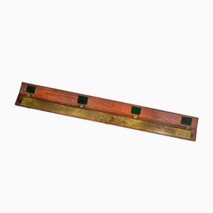
You May Also Like
More from this Dealer
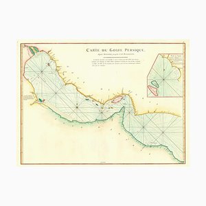
18th Century Map of the Persian Gulf
Large and Detailed Chart of the Bahamas, 1700s

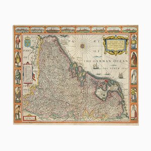
Classic Carte-À-Figure Map of the Netherlands & Belgium
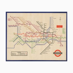
You Are Here Poster for London Bridge Underground Station

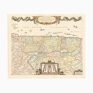
17th Century Map of the Holy Land Terra Sancta
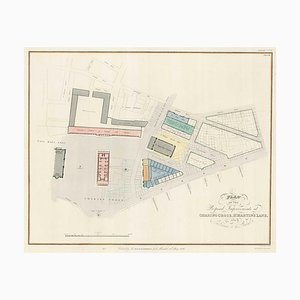
Planned Redevelopment of Charing Cross
Early 19th Century Brass Navigators Tool by William Carys, 1800
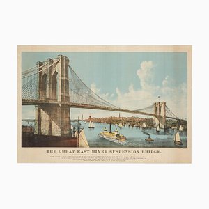
Large View of the Newly-Completed Brooklyn Bridge Poster
18th Century Double-Hemisphere World Map

London Transport Underground A Double Crown Poster Map of the Tube by Beck, 1935
George Morland, Anti-Slavery Scenes, Colour Prints, Set of 2

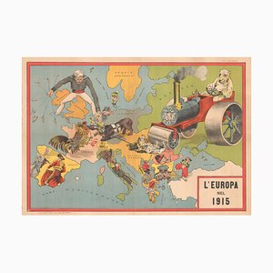
Italian Serio-Comic Map of Europe During the Great War, 1890s
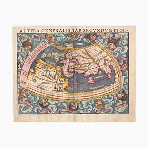
16th Century Woodcut Map of the World According to Ptolemy
Map of Mungo Park's Search for the River Niger

16th Century Miniature Map of Ischia by B. Langenes, 1599

16th Century Italian Map of Cambridge

Pictorial Map of Wales

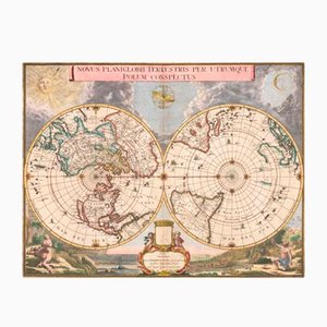
Antique Double Hemisphere Map of the World on a Polar Projection by J. Blaeu, 1695
Map of Italy with Plans and Views of Cities

Prospect of Munich, Early 18th Century

More Products


Get in Touch
Make An Offer
We noticed you are new to Pamono!
Please accept the Terms & Conditions and Privacy Policy
Get in Touch
Make An Offer
Almost There!
To follow your conversation on the platform, please complete the registration. To proceed with your offer on the platform, please complete the registration.Successful
Thanks for your inquiry, someone from our team will be in touch shortly
If you are a Design Professional, please apply here to get the benefits of the Pamono Trade Program