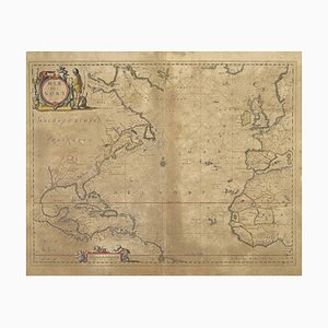
Map of Mar Del Nort by Johannes Janssonius, 1650s
You are now following Charts. You can manage alerts in your account settings.
You have unfollowed Charts.
Map of Mar Del Nort by Johannes Janssonius, 1650s

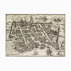
Burdigala, Map from ''Civitates Orbis Terrarum'' - by F.Hogenberg - 1575 1575
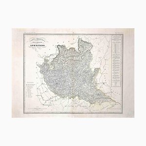
Map of Lombardy, Original Etching, 19th Century
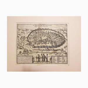
Jerusalem, Antique Map from ''Civitates Orbis Terrarum'' - 1572-1617 1572-1617
Map of Paris, Original Etching, 19th Century
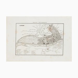
Unknown, Map of Lyon, Etching, 19th Century
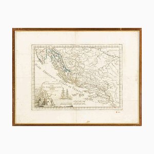
Giovanni Mignani, Map of Dalmatia & Adjacent Islands, Etching, 1792, Framed
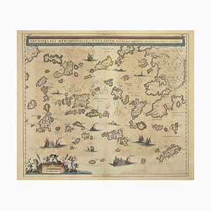
Johannes Janssonius, Antique Map of Archipela Meridionalis, Etching, 1650s
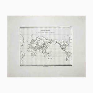
Map of the World, Original Etching, 1820
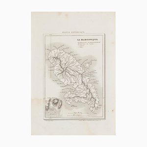
Map of Martinique - Etching - 19th-Century
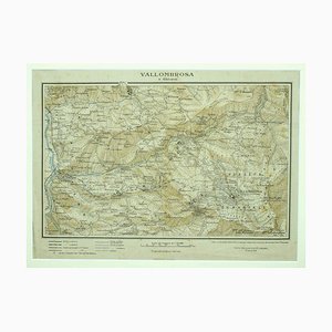
Unknown - Map of Vallombrosa - Florence 1926
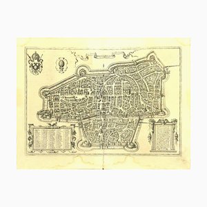
Franz Hogenberg - Map of Augsburg - Etching - Late 16th Century
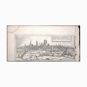
Munchen, Antique Map from ''Civitates Orbis Terrarum'' - 1572-1617 1572-1617
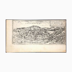
Salzburg, Map from ''Civitates Orbis Terrarum''-by F. Hogenberg - 1575 1575
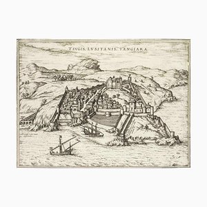
Tangiaria (Tanger), Map from ''Civitates Orbis Terrarum''-by F. Hogenberg - 1575 1575
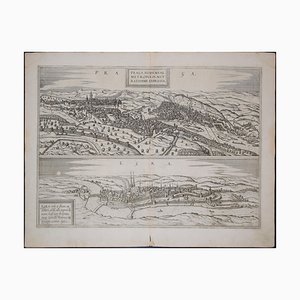
Prague and Egra, Antique Map from ''Civitates Orbis Terrarum'' 1572-1617
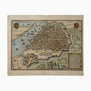
Franz Hogenberg, Map of Antwerp, Etching, Late 16th Century
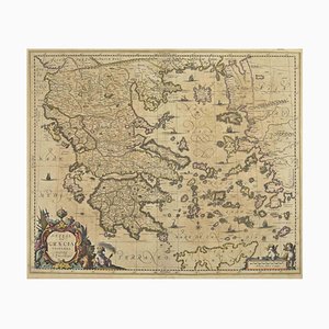
Johannes Janssonius, Antique Map of Greece, Etching, 1650s
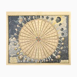
Johannes Janssonius, Anemogra Phica, Etching, 1650s
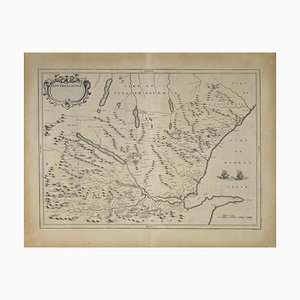
Map of Scotland Etching by Johannes Blaeu, 1650s
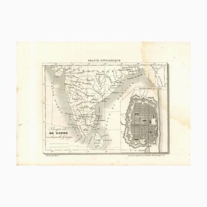
Original Lithographic Map of India, 19th Century
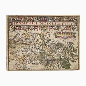
Abraham Ortelius, Map of Liege, Original Etching, 1584
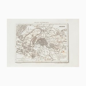
Unknown - Price - Map of Seine - Original Etching - 19th Century
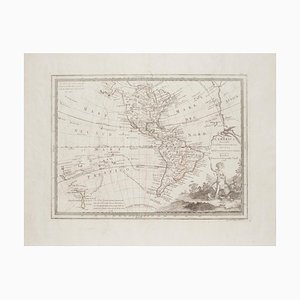
Unknown - The Americas - Vintage Map - 18th century
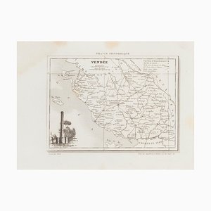
Unknown - Map of Vendée - Original Etching - 19th Century
Franz Hogenberg - View of Gorlitz - Etching - Late 16th Century

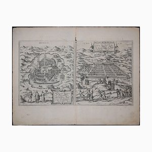
Mexico City & Cusco Antique Map, Civitates Orbis Terrarum by Braun & Hogenberg 1572-1617
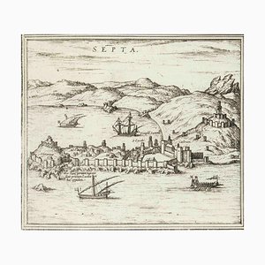
Septa, Map from ''Civitates Orbis Terrarum'' - by F.Hogenberg - 1575 1575
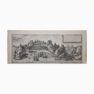
Aden, Map from ''Civitates Orbis Terrarum'' - by F. Hogenberg - 1575 1575
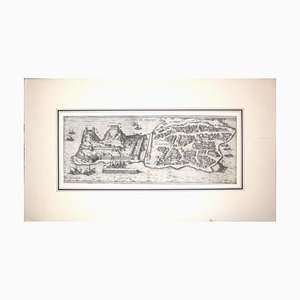
Corfu, Big Antique Map from ''Civitates Orbis Terrarum'' - 1572-1617 1572-1617
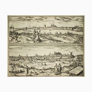
Orleans and Bourges, Map from ''Civitates Orbis Terrarum''-by F. Hogenberg - 1575 1575
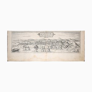
Buda, Antique Map from ''Civitates Orbis Terrarum'' - 1572-1617 1572-1617
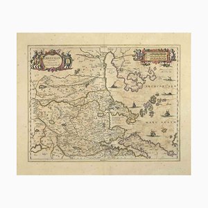
Johannes Janssonius, Thessalia Map, Etching, 1650s
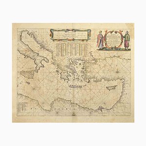
Johannes Janssonius, Maris Mediterranei, Etching, 1650s
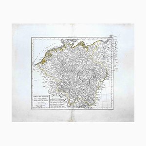
Map of Germany, Original Etching, 1820
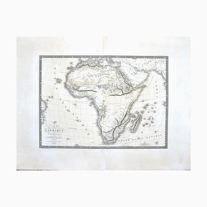
Map of Africa by C. Brue, 1820
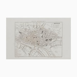
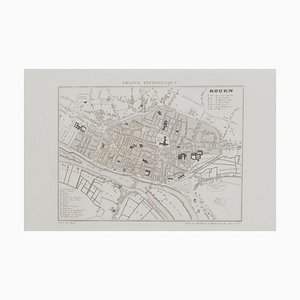
Unknown, Map of Rouen, Original Etching, 19th Century
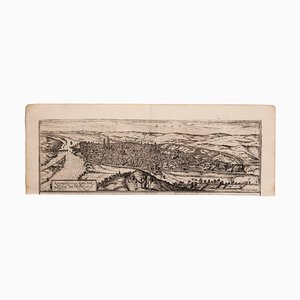
Franz Hogenberg, Map of Rouen, Etching by G.Braun and F. Hogenberg, Late 16th Century
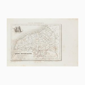
Map of Seine - Etching - 19th-Century
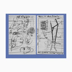
Alberto Moravia, Ticket Map, Letters With Sketches, 1956
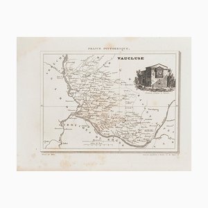
Unknown - Map of Vaucluse - Original Etching - 19th Century
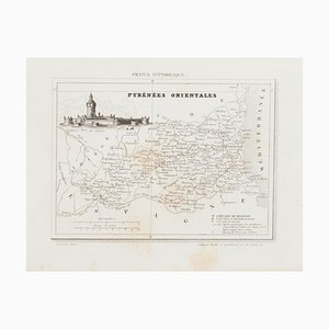
Unknown, Map of Pyrénées, Etching, 19th Century
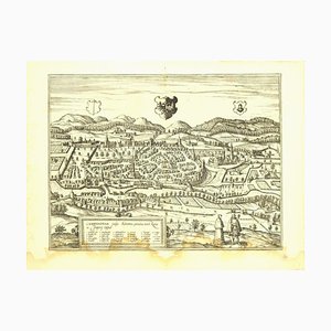
Franz Hogenberg - View of Kempten in Allgau - Etching - Late 1500
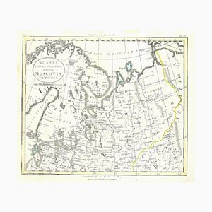
Unknown - Map - Original Etching - Late 19th Century
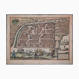
Moscow /Moscovia Antique Map, Civitates Orbis Terrarum by Braun and Hogenberg 1572-1617
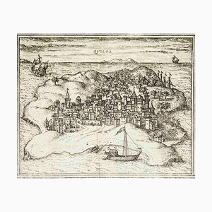
Quiloa, Map from ''Civitates Orbis Terrarum'' - by F.Hogenberg - 1575 1575
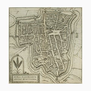
Ypra, Map from ''Civitates Orbis Terrarum'' - by F. Hogenberg - 1575 1575
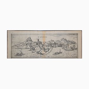
Heraklion, Map from ''Civitates Orbis Terrarum'' - by F. Hogenberg - 1575 1575
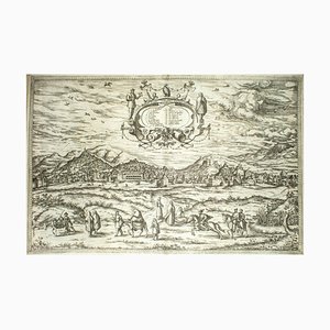
Granada, Map from ''Civitates Orbis Terrarum'' - by F.Hogenberg - 1575 1575
Toledo, Map from ''Civitates Orbis Terrarum'' - by F. Hogenberg - 1575 1575
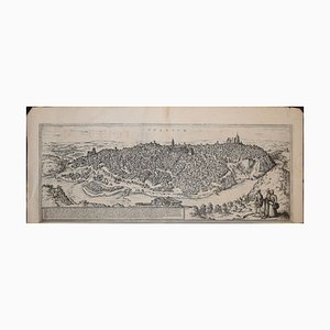
Oxford, Map from ''Civitates Orbis Terrarum'' - by F. Hogenberg - 1575 1575
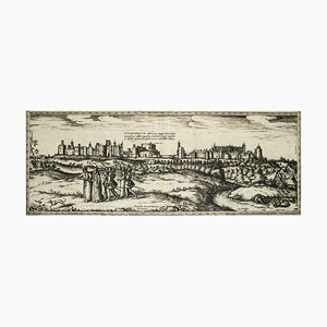
Stade, Antique Map from ''Civitates Orbis Terrarum'' - 1572-1617 1572-1617
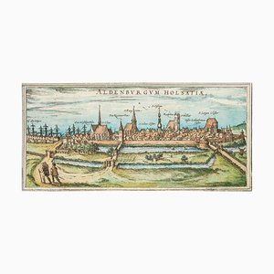
Luneburg, Map from ''Civitates Orbis Terrarum'' - by F.Hogenberg - 1575 1575
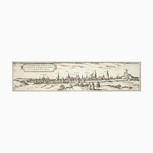
Prague and Egra, Antique Map from ''Civitates Orbis Terrarum'' - 1572-1617 1572-1617
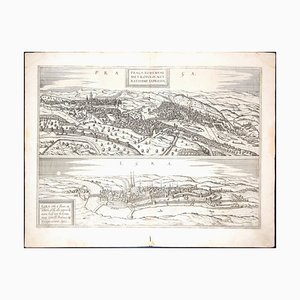
Johannes Janssonius, Map of Zeilan, Etching, 1650s
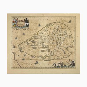
Johannes Janssonius, Map of Macedonia, Etching, 1650s
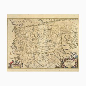
Johannes Janssonius, Peloponnesvs (Greece), Etching, 1650s
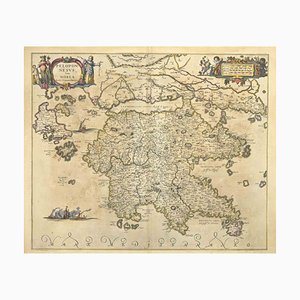
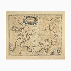
Johannes Janssonius, Map of the Poles, Etching, 1650s
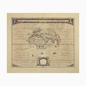
Johannes Janssonius, Orbis Terrarum, Etching, 1650s
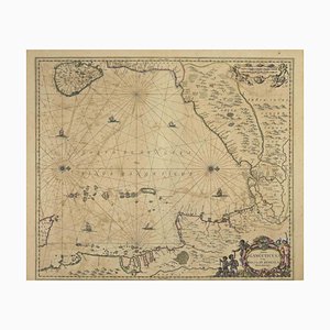
Johannes Janssonius, Gulf of Bengal, Etching, 1650s
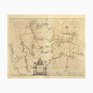
Johannes Janssonius, Freti Canalis, Etching, 1650s
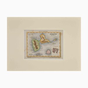
Map of Guadalupe, 19th Century
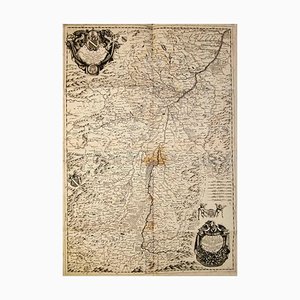
Varsavia Superiore e Inferiore Etching Map by Vincenzo Maria Coronelli, Late 17th Century
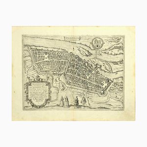
Map of Magdeburg Etching by G. Braun & F. Hogenberg, Late 16th Century
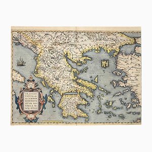
Abraham Ortelius, Map of Greece, Original Etching, 1584
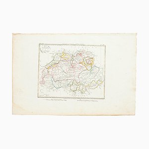
Map of Switzerland, Original Etching, 19th Century
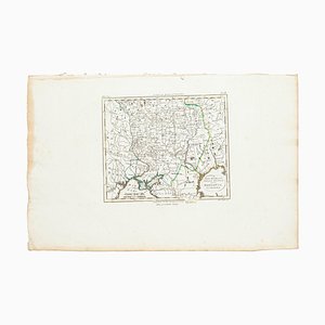
Marco Di Pietro, Map, Original Etching, 19th Century
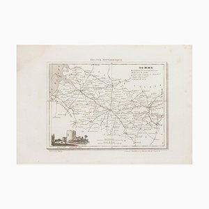
Unknown, Map of Somme, Etching, 19th Century
Unknown, Map of Seine, Etching, 19th Century

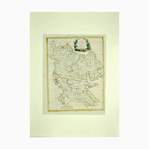
Antonio Zatta, Map of Greece, Etching, 18th Century
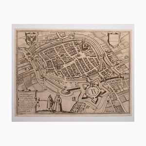
George Braun - Map of Groningen - Original Etching - Late 16th Century
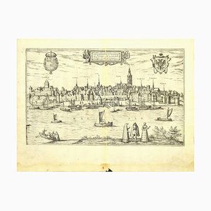
Franz Hogenberg - Map of Nijmegen - Etching - Late 16th Century
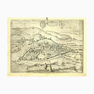
Franz Hogenberg - View of Namur (belgium) - Etching - Late 1500
Unknown - Map of Persia - Original Etching - Late 19th Century

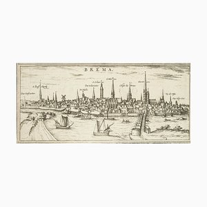
Bremen, Map from ''Civitates Orbis Terrarum'' - by F.Hogenberg - 1572-1617 1572-1617
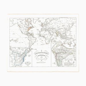
Old British Empire Map - Ancient Map by Karl Spruner - 1760 ca. 1760 ca.
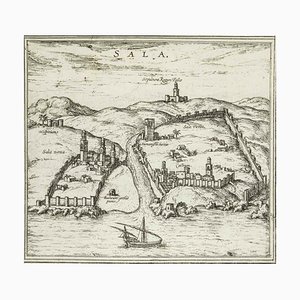
Sala, Map from ''Civitates Orbis Terrarum'' - by F.Hogenberg - 1575 1575
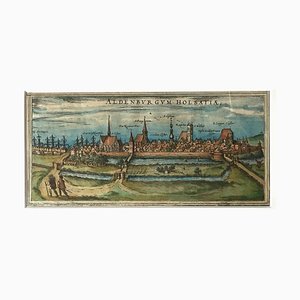
Map of Aldenburgum Holsatie - From ''Civitates Orbium Terrarum'' - 1575 1575
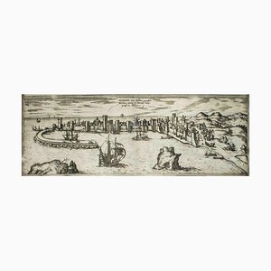
Modon, Map from ''Civitates Orbis Terrarum'' - by F. Hogenberg - 1575 1575
Leyden, Map from ''Civitates Orbis Terrarum'' - by F. Hogenberg - 1575 1575
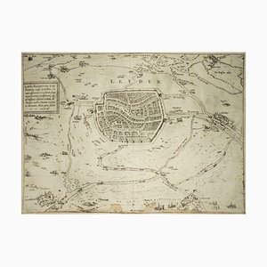
Nuremberg, Map from ''Civitates Orbis Terrarum'' - by F. Hogenberg - 1575 1575
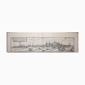
Bonn, Map from ''Civitates Orbis Terrarum'' - by F. Hogenberg - 1575 1575
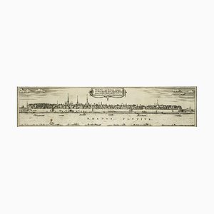
Dunkirk, Map from ''Civitates Orbis Terrarum'' - by F. Hogenberg - 1572/1617 1572/1617
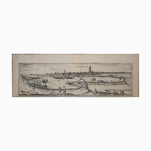
Cascale, Map from ''Civitates Orbis Terrarum'' - by F. Hogenberg - 1575 1575
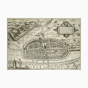
Map of Calcaria - From ''Civitates Orbium Terrarum'' by F. Hogenberg - 1575 1575
Hemisphere Of The New Continent - Ancient Map by J.G. Heck - 1834. 1834
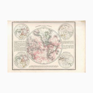
Hemisphere Of The New Continent - Ancient Map by J.G. Heck - 1834. 1834

Rotomagus, Map from ''Civitates Orbis Terrarum'' - by F. Hogenberg - 1572/1617 1572/1617
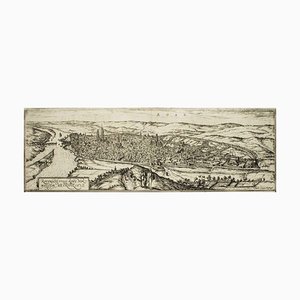
Machelen, Map from ''Civitates Orbis Terrarum'' - by F. Hogenberg - 1575 1575
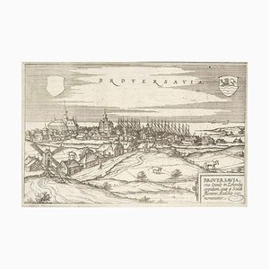
Broversavia, Map from ''Civitates Orbis Terrarum'' - by F.Hogenberg - 1575 1575
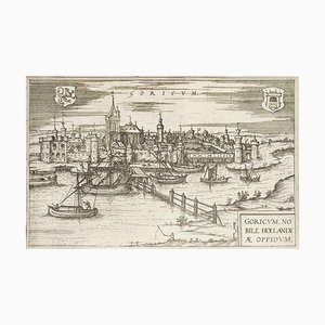
Goricum, Map from ''Civitates Orbis Terrarum'' - by F.Hogenberg - 1575 1575
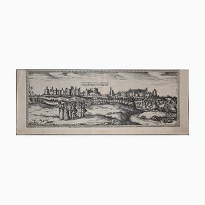
Limbourg, Antique Map from ''Civitates Orbis Terrarum'' 1572-1617

Windsor, Antique Map from ''Civitates Orbis Terrarum'' 1572-1617
Danzig, Antique Map from ''Civitates Orbis Terrarum'' - 1572-1617 1572-1617
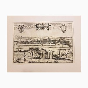
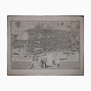
Utrecht, Antique Map from ''Civitates Orbis Terrarum'' 1572-1617
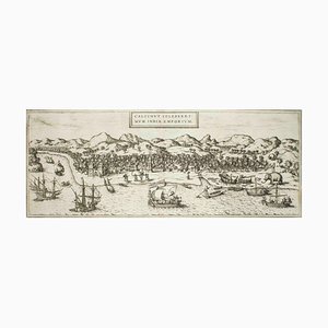
Kolkata (Calecut), Map from ''Civitates Orbis Terrarum'' - by F. Hogenberg - 1575 1575
Trending