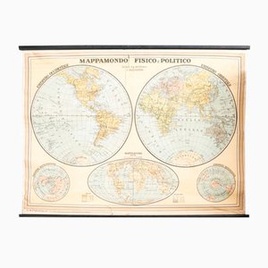
Vintage Political Chart
£244
You are now following Charts. You can manage alerts in your account settings.
You have unfollowed Charts.
Vintage Political Chart
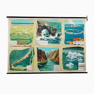
Geological Rollable Wall Chart
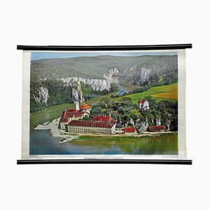
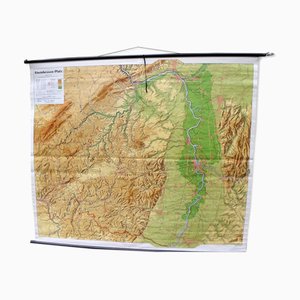
Vintage Photo Wall Chart of the Danubian Breach
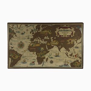
Air France Nova and Vetera Poster Map by Lucien Boucher, Paris, France, 1939
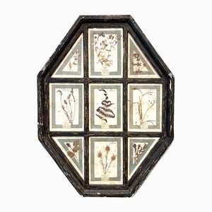
Vintage Herbarium in Glazed Wooden Frames, Florence, 1941
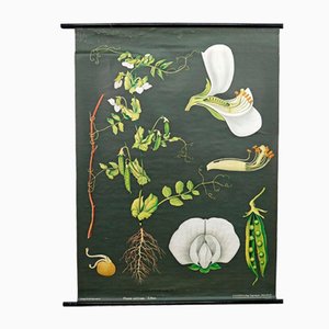
Vintage Cottagecore Botanic Wall Chart by Jung Koch Quentell
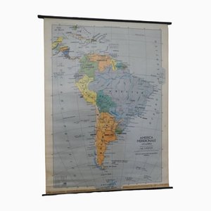
Southern America Map from IGDA Officine grafiche Novara, 1975
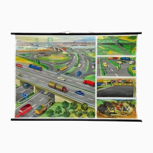
Highway Junction Rollable Wall Chart
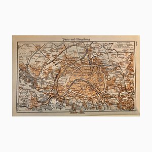
Map of Paris, 1937
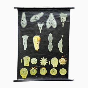
Retro Protozoa Pull-Down Wall Chart Animal Poster by Jung Koch Quentell
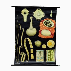
Tapeworm Rollable Wallchart by Jung Koch Quentell
Vintage Hedgehog Rollable Wall Chart Poster Print by Jung Koch Quentell

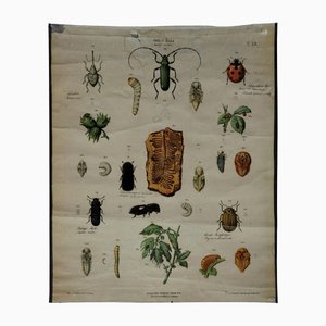
Old Vintage Beetles Insects Overview Wall Chart Poster
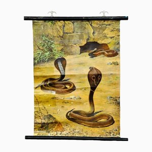
Scenery with Cobras Snake Poster Print Pull-Down Wall Chart
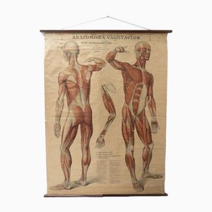
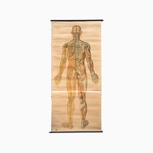
Vintage Swedish Anatomical Medical Wall Hanging
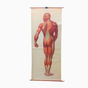
Vintage School Board "Muscle of Man", Germany, 1950s
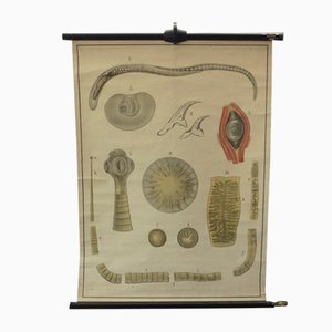
Vintage Educational Tapeworm Anatomy Chart, 1930s
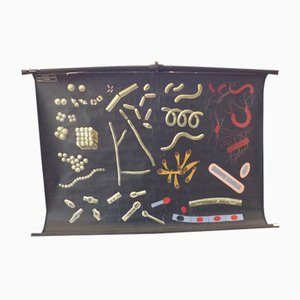
Vintage Educational Bacteria Chart, 1930s
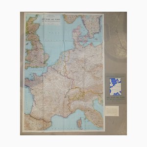
Opera Cartographic Mirabile Card from North Sea to the Mediterranean and Ethnographic Europe from C. T. I. Milan, Italy, 1939, Set of 3
Anatomical Chart from the German Hygiene Museum, Dresden, Germany, 1950s
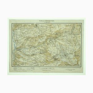
Unknown - Map of Vallombrosa - Florence 1926
Alberto Moravia, Ticket Map, Letters With Sketches, 1956

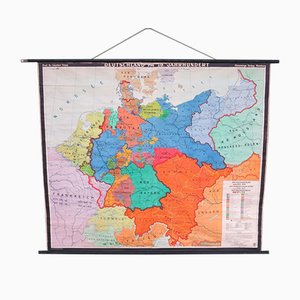
Mid-Century Map of the District of Rhineland-Hesse and Palatinate
Vintage School Europe Wall Map by Leisering & Schulze for Velhagen, 1950s

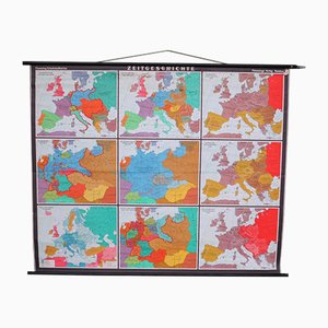
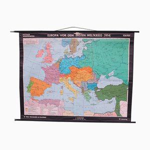
Large School Teaching Map on Contemporary History from Flemming Verlag Hamburg, 1950s
School Teaching Map by Prof. Dr. W. Trillmich for Westermann Landkarten, 1950s
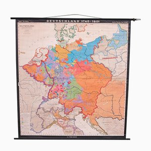
School Teaching Map of Germany from Flemming Verlag, 1950s
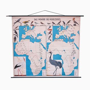
School Teaching Map of Birds from Verlag Jaeger Darmstadt, 1950s
School Teaching Map by Prof. Dr. Lauffer for Justus Perthos Darmstadt, 1950s
School Teaching Map of Warschow München, 1950s
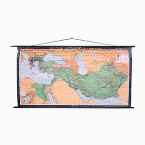
School Teaching Map of North Africa from Westermann Verlag, 1950s

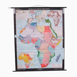
School Wall Map of Africa by Leisering & Schulze for Velhagen & Klasing, 1950s
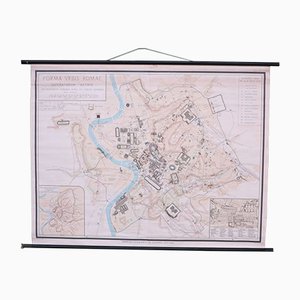
School Wall Map of Old Rome from Instituto Geografico de Agostini Nora, 1950s
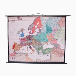
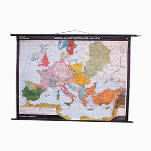
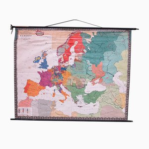
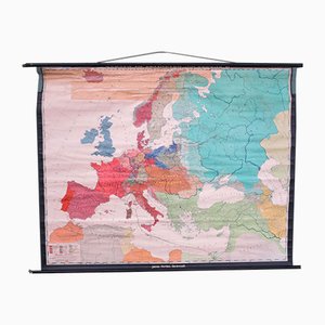
School Wall Map of Europe by W. Leisering for Velhagen & Klasing, 1950s
School Wall Map of Europe by Prof. Dr. Schmidt for Perthas Gotha, 1950s
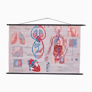
School Wall Map of the Human Body by Prof. Dr. med. W. Blotevogel for Hagemann Düsseldorf, 1950s
School Wall Map of Europe from Velhagen & Klasing, 1950s
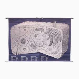
School Wall Map on Human Cells from Klett Verlag Stuttgart, 1976
School Wall Map of Germany by Haach Hertzburg for Perthes Darmstadt, 1950s
School Wall Map of Europe by Prof. Dr. M. G. Schmidt for Perthas Gotha, 1950s
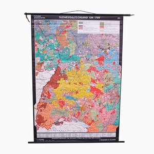
School Wall Map of South West Germany by Putzger for Velhagen & Klasing, 1950s
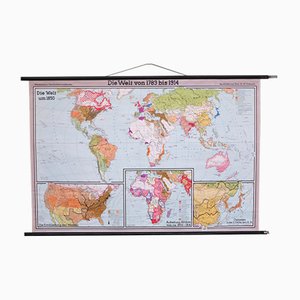
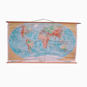
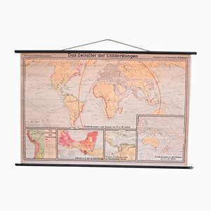
School Wall World Map by Haferland & Trillmich for Westermann, 1950s
Vintage College World Map by Perthes Darmstadt, 1950s
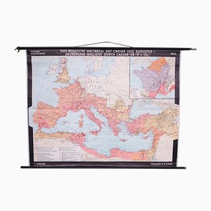
School Wall Map of the Roman Empire by Putzger for Velhagen & Klasing, 1950s
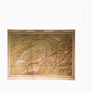
Vintage Geographical Map of Switzerland, 1930s
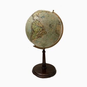
Vintage Relief Globe from Vallardi
Vintage Slate Globe from Räths

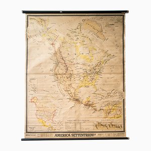
Mid-Century French Geographical America Map
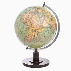
German Art Deco Globe from Columbus Verlag, 1941
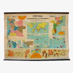
Vintage Portugal School Map, 1940s
Trending